Can you walk across farmland in North Yorkshire? Rights of way, gates and dogs
 A stone squeeze stile in a dry stone wall on a Yorkshire Dales footpath with sheep beyond
Yes, on around 5,000 miles of public rights of way plus mapped open access moorland, but the rules on dogs, gates and grouse moors are stricter than most visitors expect.
The short answer, and its limits
You can walk across private farmland in North Yorkshire wherever a public right of way crosses it, and there are thousands of miles of them, threading between walls, through farmyards and across working fields. That is a legal right, not the farmer's favour, and it cannot be blocked. Separately, the Countryside and Rights of Way Act created open access land, mostly mountain, moor, heath and registered common, where you may wander freely away from paths. On Ordnance Survey Explorer maps that land carries a pale yellow wash with a brown border, and it covers huge sweeps of the Dales and Moors.
What England does not have is a general right to roam. Away from rights of way and mapped access land, walking across a field is trespass, even if a gate is open and nobody is watching. Enclosed farmland in the Vale of York, the arable belt around Malton, and improved pasture on valley floors is almost all off-limits except on the paths. In practice this rarely constrains a walk, because the network is dense enough to build routes from. It does mean the map, not the ground, decides where you may go.
Reading signs and the right map
Waymark arrows are colour-coded and consistent. Yellow means public footpath, walkers only. Blue means bridleway, adding horses and cyclists. Plum or purple marks a restricted byway, and red indicates a byway open to all traffic, where you may meet a four-by-four or trail bike legally using a green lane. Fingerposts at road junctions give the destination and often a distance. Where a path crosses a farmyard the route may be signed around buildings; follow the signs rather than the desire line, because that diversion usually exists to keep you clear of machinery.
Buy the paper map for the area you are walking rather than relying on a phone at the bottom of a gill with no signal. Explorer OL2 covers Malham, the Three Peaks and the southern Dales; OL30 covers Wensleydale and Swaledale; OL26 and OL27 cover the western and eastern North York Moors; Explorer 301 handles the Scarborough and Filey coast. Definitive map changes and legal diversions do happen, so a path shown on an old sheet may have moved. If a route is obstructed or a stile is broken, report it to the relevant national park authority or North Yorkshire Council rather than forcing it.
Gates, walls and stiles
Leave gates as you find them. An open gate is often open deliberately, letting stock reach water; a closed one is keeping a flock off a road. If a gate has a sign asking you to close it, close it properly so the latch engages, because sheep are experts at nudging. Kissing gates and stone squeeze stiles are common in the Dales, and squeezes were built for people carrying nothing; a large rucksack usually has to come off. Ladder stiles over walls take one person at a time and the rungs are slippery in rain.
Never climb a dry stone wall. They are unmortared, structurally dependent on every stone, and a rebuild costs a farmer real money per metre and days of skilled labour. If you knock a top stone off, put it back where it came from. The same goes for cairns on the fells: adding stones from a wall or path pitching damages both. On limestone country around Malham and Ingleton, stay off wet clints in boots with worn tread, because the grykes between them are ankle-deep at best and much deeper where the pavement is broken.
Dogs, lambs and cattle
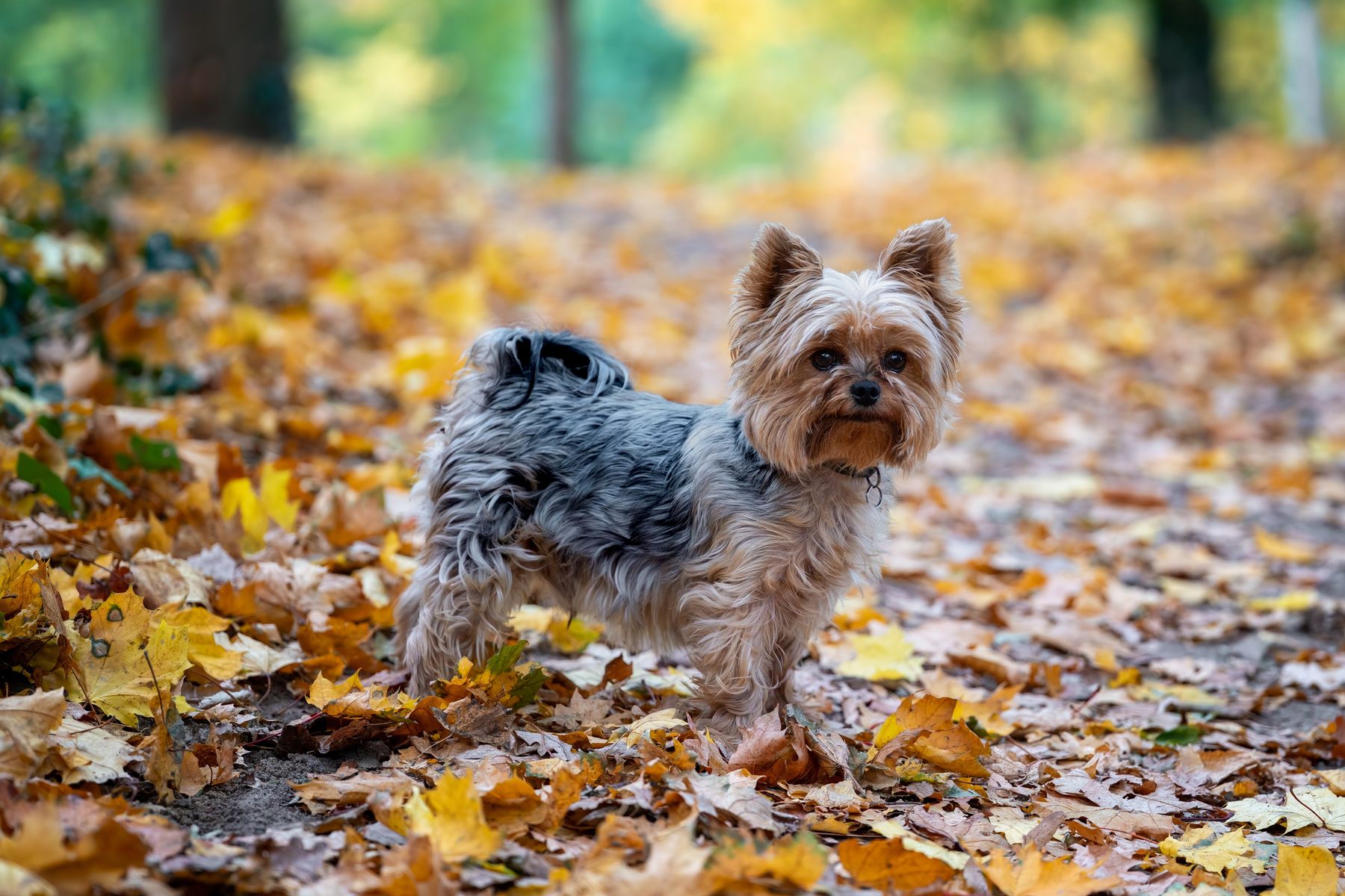
This is where visitors most often get it wrong. Keep dogs under effective control on all rights of way, and on a lead near livestock at all times. On mapped open access land there is an additional legal requirement to keep dogs on a short lead of no more than two metres from 1 March to 31 July, protecting ground-nesting birds such as curlew and lapwing whose numbers here matter nationally. Lambing runs roughly from February into May in the dales and later on the high fells; a dog that merely chases can cause ewes to abort.
Cattle are the greater danger to you. Cows with calves in a field, and occasionally bulls, will approach a dog and treat it as a threat. The standard advice from farming and rescue organisations is to let the dog off the lead if cattle move towards you, because the dog will outrun them and you will not. Walk quietly around the edge of the herd, do not get between a cow and her calf, and if the field looks wrong, take the road. Dairy bulls are not permitted in fields crossed by public paths; beef breeds running with cows are lawful.
Grouse moors, closures and the shooting season
Large areas of the North York Moors and the eastern Dales are managed grouse moor, and this changes access seasonally. Driven shooting begins on 12 August and continues into the autumn, and landowners may restrict access to open access land for a limited number of days each year, with notices at access points and details published on the official open access mapping service. Rights of way remain open even when the surrounding access land is closed, so a planned route along a footpath still works. Check before you commit to a long moorland day in late August or September.
On the moors you will pass shooting butts, tracks, traps and, in late winter and early spring, patches of controlled heather burning. Do not interfere with legal traps or ask your dog to investigate them. Keep to tracks where the heather is deep, both because the going is faster and because a dropped cigarette or a disposable barbecue on tinder-dry heather is how the fires start; both national parks ask visitors not to light any fire on moorland at any time. If you see smoke and no gamekeeper, call 999 and give a grid reference.
Parking and village manners
The single biggest friction between walkers and locals is parking. Verge parking at Malham, Aysgarth, Grassington, Buckden and the Three Peaks trailheads blocks farm gateways, narrows lanes below the width of a fire appliance and churns the grass to mud. Use the car parks, pay the few pounds, and if the car park is full accept that you are too late and drive to a quieter dale. Sunday mornings in July and August at Malham are the worst case; by ten the village is saturated. Arriving at eight or after four transforms the day.
Honesty boxes for parking, eggs, cakes and camping are still common, and most take coins rather than cards, so carry a few pounds in change. Bag dog mess and take it out with you, including from moorland; hanging bags on stiles has become a minor plague in Wharfedale. Buy something in the village you park in, even a coffee, because that is the only mechanism by which walkers fund the shop and pub they rely on. Close your car boot and change your boots without spreading gear across a passing place.
Getting it wrong safely
The Yorkshire Three Peaks circuit from Horton in Ribblesdale is 24 miles with around 1,500 metres of ascent, and it generates a steady stream of call-outs from people who treated it as a long walk rather than a mountain day. Start early, carry proper waterproofs and food, and put money into the path repair fund, because the erosion scars on Whernside and Pen-y-ghent are paid for by donations. On the Cleveland Way between Helmsley and Filey, the coastal half runs along unstable cliff edges where fencing is intermittent and the ground gives way after wet spells.
The coast adds tides. The scars at Robin Hood's Bay and the walk out along Filey Brigg both cut off on a rising tide, and people are lifted off them every season. Check a tide table before any beach-level route between Saltwick, Robin Hood's Bay and Ravenscar. In an emergency anywhere inland call 999, ask for police, then mountain rescue; the volunteer teams covering Swaledale, upper Wharfedale and the Scarborough and Ryedale area are the ones who will come. Give a grid reference or a what3words location, and stay put once you have called.
Before you book
The questions people ask about York, answered with this month’s numbers.
Not as of right. Unlike parts of Scotland, wild camping in England requires the landowner's permission, and neither national park authority can grant it on your behalf. High, discreet, single-night camping well away from walls and roads is often tolerated, but a farmer asking you to move is within their rights. Campsites in Hawes, Kettlewell and Rosedale are the reliable option.
Bulls of recognised dairy breeds are not permitted in fields crossed by public rights of way. Beef breed bulls running with cows or heifers are lawful and common in the dales. Treat any large animal with calves as the real hazard, walk the field edge, keep a dog on a lead until cattle approach, then release it.
No. Rights of way and open access land are free, and no landowner may charge for them. You will pay for parking at national park car parks, typically a few pounds for a day, and for entry to managed estates and gardens such as those around Bolton Abbey. Always check the current tariff with the operator.
You may go round the obstruction by the shortest reasonable route if the way is impassable, but do not cut new lines across crops. Report the problem to the Yorkshire Dales or North York Moors national park authority, or to North Yorkshire Council for paths outside the parks; both maintain online reporting for exactly this.