Safety and street smarts in North Yorkshire
This is one of the safest counties in England — the genuine risks are weather, tides and single-track roads, not crime. Here are the 10 things that actually catch visitors out.
 Waymarked footpath sign on a misty North York Moors ridge
The real picture on crime
North Yorkshire consistently records among the lowest crime rates of any police force area in England and Wales, and violent crime against visitors is rare. Walking back to your hotel through York at midnight, along Harrogate's Parliament Street, or up Whitby's Church Street is normal and unremarkable. The practical risks are the ordinary urban ones: opportunistic bag theft in busy pubs and cafés, bikes stolen if left unlocked, and phones lifted in crowded market or festival crowds.
The one predictable friction point is late-night drinking. York's Micklegate run and parts of Scarborough's town centre get boisterous on Friday and Saturday nights, especially with stag and hen groups. It is loud rather than dangerous, but if you would rather avoid it, drink in Fossgate and Gillygate pubs in York or the Old Town in Scarborough, and walk home by the main lit streets. Emergency number is 999; 101 for non-urgent police matters; 111 for medical advice.
Weather is the actual hazard
Upland North Yorkshire kills people most years, and almost always through underestimation. The Yorkshire Three Peaks — Whernside, Ingleborough and Pen-y-ghent — draw thousands who set off in trainers with a phone for navigation. Cloud can drop to ground level in 20 minutes, temperatures on the tops run 3 to 5C below the valley, and wind chill on Ingleborough's plateau is severe. Carry waterproofs, a warm layer, a paper map or offline OS mapping, food, water and a head torch, and tell someone your route.
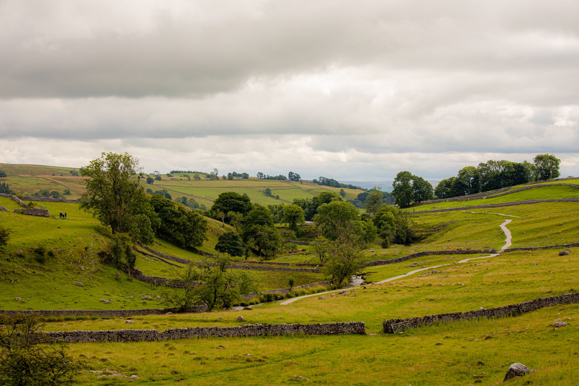
On the Moors, the risk is featureless terrain and fog. Paths across Fylingdales and around the Hole of Horcum look obvious in sun and vanish in mist. Check the Met Office mountain forecast, not the town forecast. Snow closes the Buttertubs Pass, Park Rash, the A169 over the Moors and Sutton Bank several days most winters — if a gate is shut, it is shut. In summer, boggy ground after rain and slippery limestone above Malham Cove cause most minor injuries.
Coast, tides and cliffs
The Yorkshire coast is beautiful and genuinely tidal-dangerous. The walk from Robin Hood's Bay to Boggle Hole across the scars, the beach route under Whitby's East Cliff, and Runswick Bay all cut off on a rising tide. Check tide tables — posted at slipways and available online — and allow a wide margin. Coastguard callouts here overwhelmingly involve people cut off below cliffs. Never try to climb the cliffs to escape; the boulder clay is unstable and slides regularly.
Cliff tops are equally serious. The Cleveland Way runs close to unfenced edges near Ravenscar, Boulby and Saltburn, and undercut sections collapse without warning, particularly after heavy rain. Keep dogs on leads and children away from edges. In the water, rip currents affect Scarborough's South Bay and Saltburn; swim near lifeguards where flagged in season, and be aware that lifeguard cover is typically summer only, roughly late May to early September, at Scarborough, Whitby, Filey and Saltburn.
Driving hazards specific to this county
Single-track Dales lanes with drystone walls give you no verge, no visibility over crests and no room for error. Drive at a speed you can stop from, use passing places rather than reversing 300 metres, and expect tractors, horse riders and cyclists. Sheep have absolute right of way in practice and no road sense at all; on unfenced moorland roads around Blakey Ridge, Reeth and Bishopdale, lambs sit on warm tarmac at dusk. Hitting one is common and expensive.
Other specifics: Sutton Bank's 1-in-4 gradient with hairpins is banned to caravans and still attempted weekly. Fords across Dales becks flood fast after rain — turn round rather than chance depth. Mobile signal for breakdown calls is absent in stretches of Swaledale, Bilsdale and upper Wharfedale, so note your last road junction. Summer Saturdays on the A64 to Scarborough and the A171 into Whitby add an hour. Rural drink-driving enforcement is active; if you are staying at a country pub, stay overnight.
Walking rights, farm land and dogs
Access here works through rights of way, not open roaming, outside designated open access land. Stick to waymarked paths, use gates and stiles rather than climbing walls, and close every gate behind you. Cattle with calves are the most common cause of walker injury in the Dales: give them a wide berth, and if a cow approaches your dog, let the dog off the lead so it can run and the cow follows it rather than you. Bulls in fields crossed by footpaths are legally restricted but not unheard of.
Dogs must be under close control near livestock and on leads during lambing, roughly March to May, and on moorland during ground-nesting bird season, March to July. Sheep worrying is taken extremely seriously and farmers are legally entitled to act. Also watch for adders on dry moorland heath in summer — rare bites, but real — and ticks in bracken, which means checking legs after Dales and Moors walks. Lyme disease is present in Yorkshire; remove ticks promptly with a proper tool.
Practicalities: health, scams and solo travel
There are minor injuries units and pharmacies in the main towns, with major hospitals in York, Scarborough, Northallerton and Harrogate. Mountain rescue teams in Swaledale, Wensleydale, Cave Rescue at Clapham and Scarborough and Ryedale cover the uplands and are volunteer-run; call 999 and ask for police then mountain rescue. Coastguard is also 999. Non-UK visitors should carry travel insurance covering mountain rescue and repatriation even though rescue itself is not charged.
Scams are minimal. The realistic ones are unofficial parking touts around Whitby and Scarborough in high season, over-friendly ticket resellers outside events, and holiday-let listings that do not exist — book through established platforms or phone the property. Solo travel, including for women, is straightforward here; York, Harrogate, Knaresborough, Richmond and Malton are all comfortable places to eat alone at a bar. The main solo-specific advice is upland: leave a route plan with your accommodation, and don’t push on into fog to make a summit.
Frequently asked questions
What people ask before they set off on this one.
Very. The county has one of the lowest crime rates in England, and violent crime against visitors is rare. Ordinary precautions against bag and phone theft in busy pubs and markets are enough. Your real risks are hill weather, tides beneath the coastal cliffs, and narrow rural roads.
Yes. The centre is well lit and busy, and walking back to a hotel on Bootham, Gillygate or Micklegate at night is normal. Friday and Saturday nights bring loud stag and hen groups around Micklegate and parts of the city centre — annoying rather than threatening. Stick to main streets and you will be fine.
Waterproof jacket and trousers, a warm layer, boots with grip, food and at least a litre of water, a head torch, and navigation you can use without signal — paper OS map and compass or offline mapping. Check the Met Office mountain forecast, not the town one. Tell your accommodation your route and expected return time.
Yes, seriously so. Beach routes between Whitby, Robin Hood's Bay and Boggle Hole cut off on a rising tide, and the cliffs above are unstable boulder clay that must not be climbed. Check posted tide tables and allow a two-hour margin. Most coastguard callouts on this coast involve people cut off below cliffs.
Yes, with rules. Keep dogs on a lead near livestock, throughout lambing from roughly March to May, and on moorland from March to July for ground-nesting birds. If cattle approach, let the dog off the lead so it can escape and the cattle follow it away from you. Check for ticks afterwards.
999 for police, ambulance, fire, coastguard and mountain rescue — ask for police then mountain rescue if you are on the hill. Use 101 for non-urgent police reports and 111 for medical advice. Note that mobile coverage is patchy in Swaledale, Bilsdale and upper Wharfedale, so know your last road junction or grid reference.
Hotels in North Yorkshire
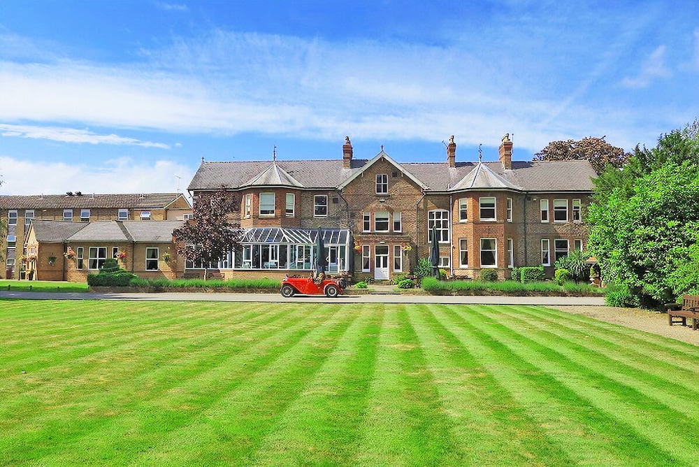
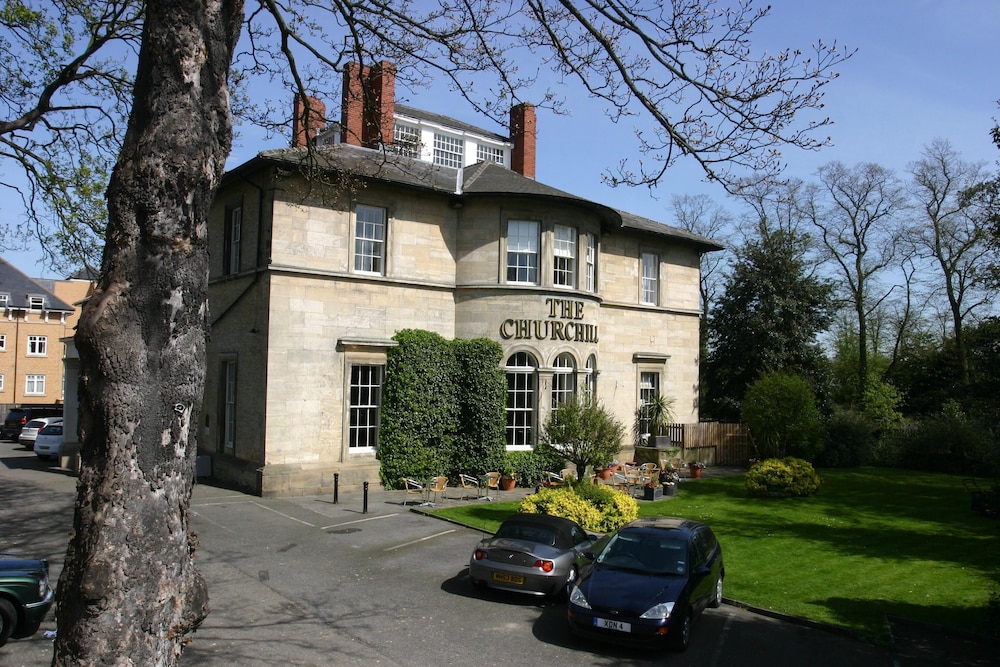
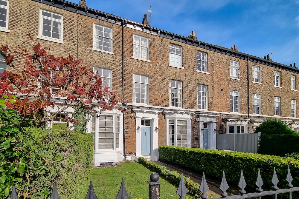
Hotels we cover across North Yorkshire
- Watermark Apartments 4★
- Watersedge 4★
- Watersedge Sandsend 4★
- Waves at The Bay Part of the The Bay Filey Holiday Village with pool gym and direct beach access pub restaurant tennis and meadows walks 4★
- Wayside 4★
- Wedgewood Cottage 4★
- Wellside Cottage 4★
- WellyBob Cottage by Birch Stays New Home 4★
- Wend Gardens Annx Carleton Skipton Pet friendly 4★
- Wensleydale Farmhouse 4★
- Wensleydale Stone Cottage 4★
- Wesley Chapel Cyanacottages 4★
- West Acre Lodge 4★
- West End Guest House 4★
- West Garth Cottage 4★
- West House Farm 4★
- West View 4★
- West View Cottage 4★
- Westbourne House 4★
- Westcourt by RMG Apartments 4★
- Westgarth 4★
- Westreach Filey a 4 Bedroom All En Suite Sleep 8 Townhouse 4★
- Weydale Avenue 4★
- Wharfe Lodge 4★
More guides to North Yorkshire
All guides Itineraries · 9 min read
48 hours in North Yorkshire
Itineraries · 9 min read
48 hours in North Yorkshire
Two days, one base, and roughly £250 to £400 for a couple including a decent room. Here is how to split a weekend between York, the coast and the Dales without spending it in the car.
 Itineraries · 10 min read
One week in North Yorkshire
Itineraries · 10 min read
One week in North Yorkshire
Seven nights across three bases, covering the city, the Dales, the moors and the coast for roughly £900 to £1,400 for two including rooms. Here is the route that works.
 Itineraries · 9 min read
North Yorkshire in 3 days on a budget
Itineraries · 9 min read
North Yorkshire in 3 days on a budget
Three days, two nights and a target of £180 per person all in, including a bed. The county has more free sights than almost anywhere in England if you know which doors not to pay at.
Compare honest nightly rates across the county, book at the same price or better, and remove a tonne of CO₂ while you do it.